By Jade Dean
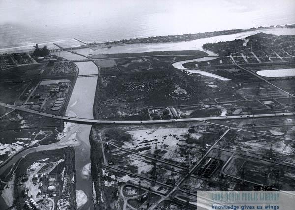
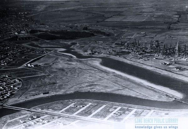
After perusing the Long Beach Public Library's Photo Archive, I discovered photos of both Los Cerritos Wetlands and the Colorado Lagoon I had never seen before. Let us know which one is your favorite in the comments!
After perusing the Long Beach Public Library's Photo Archive, I discovered photos of both Los Cerritos Wetlands and the Colorado Lagoon I had never seen before. Let us know which one is your favorite in the comments!

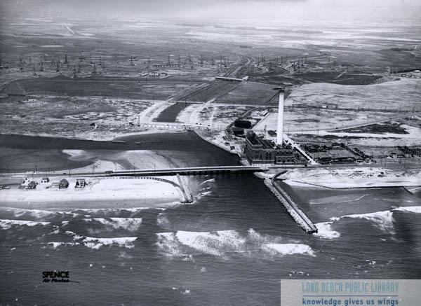
Los Cerritos Wetlands in 1945. The description reads: Looking southwest from Pacific Coast Highway and San Gabriel River. 2nd Street Bridge, Naples, Alamitos Bay bridge, trestle bridge, and 7th Street bridge visible. Alamitos Peninsula is in the background, from right to left. Photo taken for Long Beach City Engineer office.

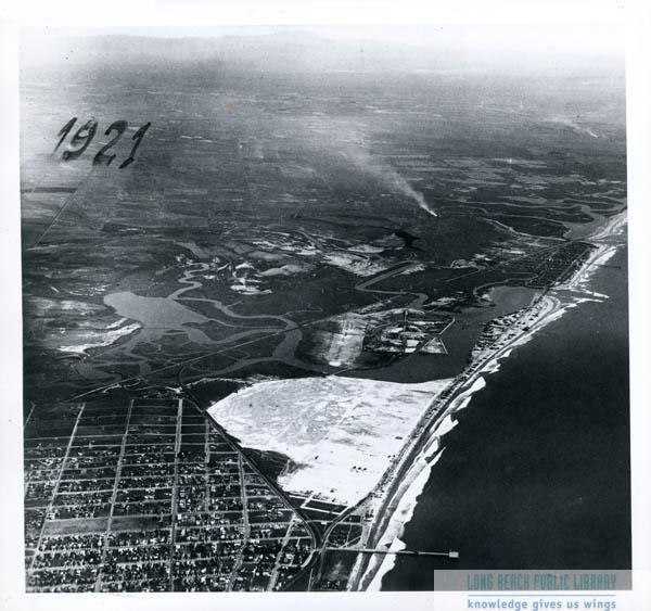
Colorado Lagoon in 1921. The description reads: Aerial view looking west over Belmont Heights (lower left), undeveloped Belmont Shore, and newly developed Naples. Also see the original shape of Colorado Lagoon and what would become Marine Stadium. San Gabriel Mountains in background. (I would like to point out that the large white area is now Belmont Shore and yes, the white lines in the water are waves.)


 RSS Feed